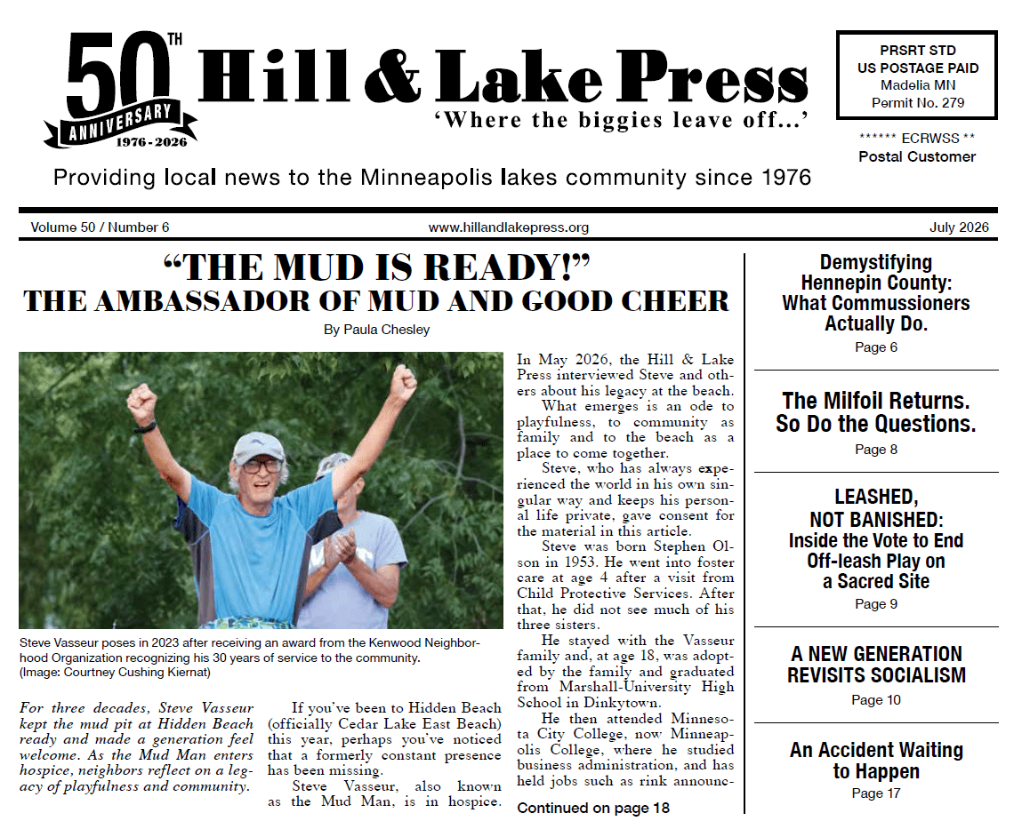
The Green Line Extension is scheduled to open in 2027. I won’t dwell on the controversies, construction difficulties and cost increases that have plagued it. Instead, this article will discuss how the finished line will change the transit system and the Uptown/ East Isles neighborhood.
The line’s first impact, already very apparent, is the extensive development near the stations. Large apartment buildings have sprung up near most of them, with more to come. As of December 31, 2022, 8,120 new apartments had been permitted, with another 7,000 planned. According to the Metropolitan Council, development along the Green Line Extension through 2022 was valued at $2.8 billion, with an additional $780 million planned. (Some have argued that they’re counting things that would have been built anyway, making this an overstatement.) Of the permitted development, 57% is residential, 33% commercial, 7% public/institutional and 2% industrial.
The Hill & Lake neighborhood will have walkup LRT access at the West Lake Station and 21st Street Station. West Lake, surrounded as it is by apartments and retail, will be by far the busier, perhaps the busiest on the entire line. Compared to today’s Route 17 bus, travel time to downtown (5th and Nicollet) will be cut in half, from 29 minutes to 14 minutes.
LRT will restore transit service to Kenwood, which currently is down to a single daily rush hour round trip. Besides downtown, Kenwood and West Lake will also have convenient access to the University of Minnesota, the airport and all the sports venues (Twins, Timberwolves, Lynx, Vikings, Gophers, Minnesota United and St. Paul Saints).
From the Kenwood and West Lake Stations, the Green Line will provide faster and twice as frequent service to Hopkins as compared to buses, and much faster, all-day service to the Opus II employment area in southeast Minnetonka. It will bring first time transit access to portions of St. Louis Park and to Eden Prairie, home to one of the largest concentrations of suburban employment.
Bus Connections from Minneapolis
Although it will be fed by all the bus routes that serve downtown, the Green Line Extension will also have feeders directly from south Minneapolis that pass through Uptown. Already in place is Route 21, which runs the length of Lake Street. By 2027 it will be replaced by the B Line bus rapid transit (BRT). Also in place is Route 17, which travels from downtown via Nicollet, 24th Street, Hennepin and Lake Street. Currently in place is the combined Route 23 (38th Street) and Route 612 (Excelsior Boulevard), joined end-to-end to avoid this year’s Uptown street reconstruction. That combination will be made permanent as Route 38, feeding the LRT at the West Lake Street Station from 38th Street.
Under consideration is a proposal to extend Route 2 (Franklin Avenue) to the 21st Street Station from its current terminus at Franklin and Hennepin. It would travel via Franklin, Penn Avenue and 21st Street, providing a short cut to the LRT from Franklin and reviving bus service through Kenwood. Metro Transit’s highest priority is staffing the LRT and new BRTs, so Route 2 would be a later addition, if it happens at all.
Parkland or Development
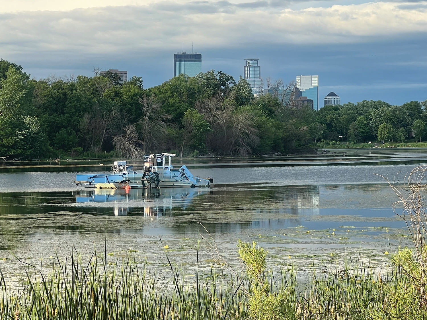
When Hennepin County bought the railroad right of way through Kenwood, it included former rail yards north and south of 21st Street, as well as the vacated engine terminal site below the Kenwood water tower. Even with the LRT, bike trail and freight rail, there’s plenty of land left over. How will it be used? Although perceived as park land, it isn’t, at least not yet. It’s not at all clear that the Park Board will want to take it over. If that doesn’t happen, might it be zoned for residential development? I ask that because very few people live within walking distance of the Penn Avenue station and there are no plans to feed it with buses. If the land remains vacant, one must ask why the station was built at all.