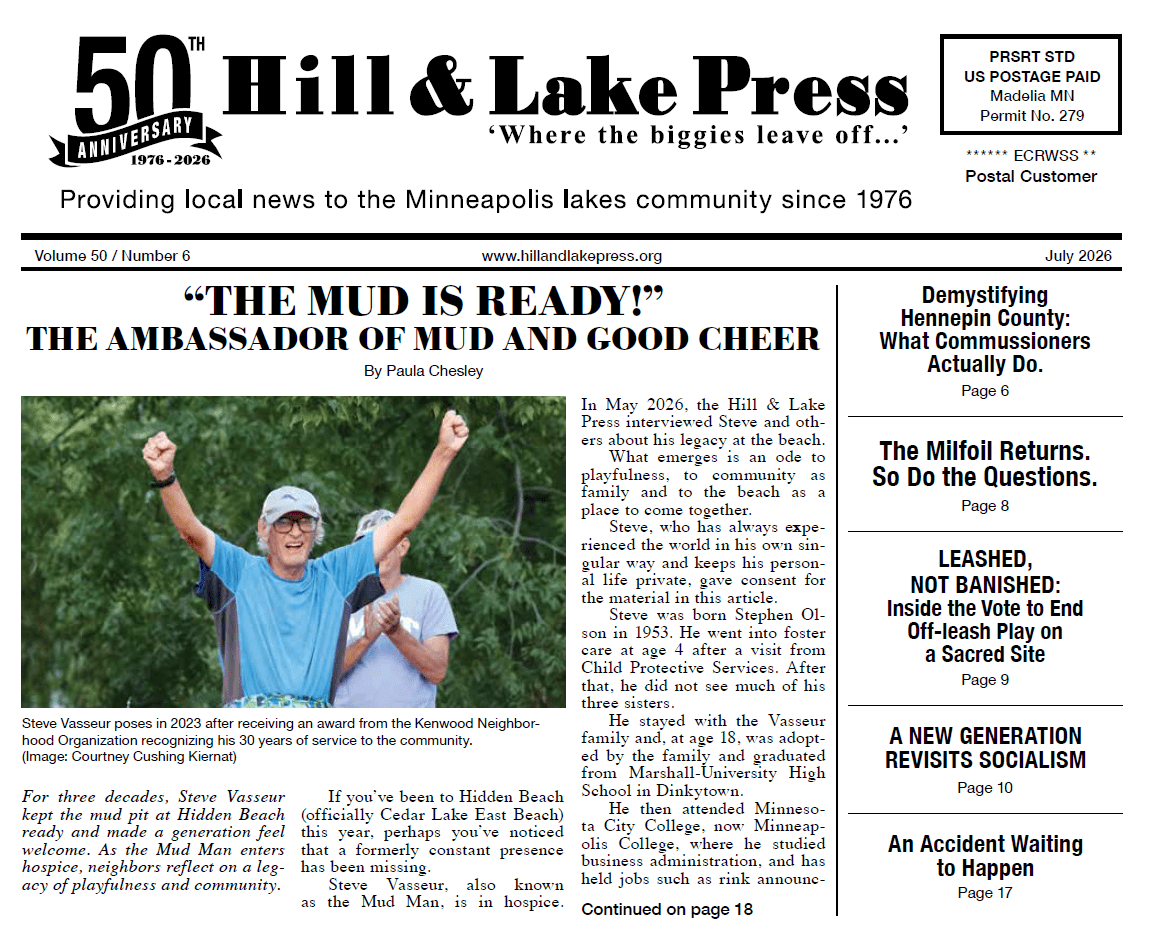

The Hennepin-Lyndale Corridor has always had green space. Triangle-shaped parks marked the north and south ends of this once very acutely angled intersection.
These were civic locations, public spaces with gardens and walkways. They were part of a broader cultural and civic corridor where multiple institutions of regional importance chose to locate.
Those parks vanished in the 1960s when the construction of I-94 transformed the landscape from the Basilica of St. Mary to Franklin Avenue. Green space didn't go away, in fact, it increased substantially.
But it was no longer the well cared-for civic space of a proud city. Instead, it was the lightly tended leftover spaces hemmed in by automobile turn lanes, freeway edges and flyover off ramps. We call these spaces "medians." There are well over a dozen of these spaces in the corridor.
There is no question that one neighborhood should not rise above another in receiving government services. It is also true that whether you are talking about Minneapolis or smaller cities amongst our state's lakes and prairies — there are places with which the whole community identifies, places where there is a shared sense of ownership and pride.
These places might be major entry points into the community, or collections of institutions like museums, colleges, and religious institutions, or public spaces that draw the entire community together for purposes of civic discourse and cultural expression.
The Hennepin-Lyndale Corridor is all of these things.