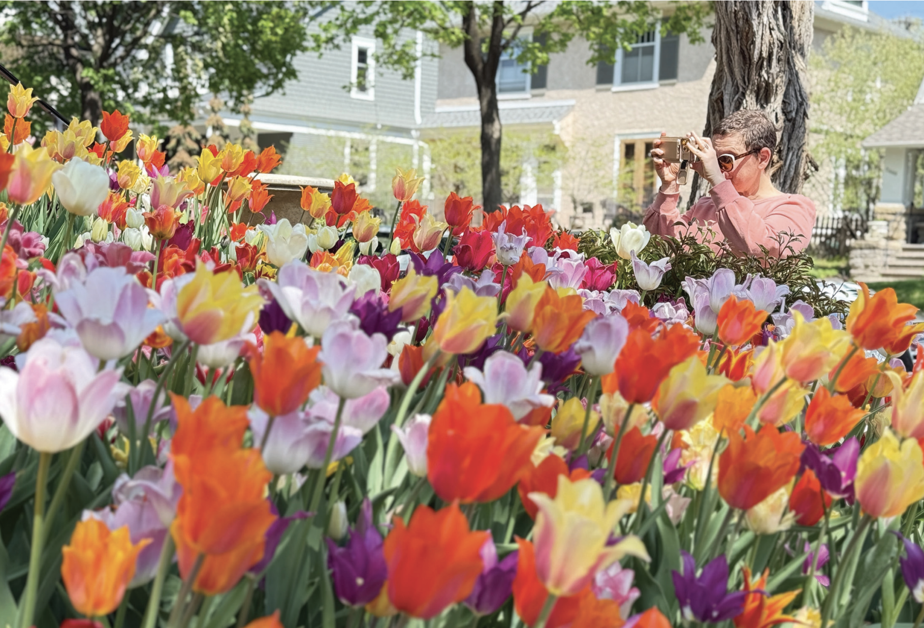
I’m seen as the progressive and urban member of the Cedar Lake and Lake of the Isles (CedarIsles) Master Plan’s Community Advisory Committee (CAC), which is an interesting label. Outside of this committee I have a history of being perceived moderate and pragmatic. So, it’s under that guise I’m writing to give concerned residents, who perhaps are nervous or leery of any changes to these beloved lakes, a brief explanation as to why some moderate changes might be good for all of us in the long run.
Throughout this article I’ll share a hot topic that neighbors are concerned about and how thinking outside of what’s there now could lead to helpful improvements that benefit us all.
Provide two-way cycling on Lake of the Isles Presently only one direction of travel is allowed on bike paths. While that might work well for recreational cyclists hoping to circumnavigate entire lakes, it doesn’t work for everyone. In addition to the stereotype of bicyclists being anti-car young urbanites, we are older people, families with young children learning to bike, parents towing a child in a heavy Burley bike trailer, or just people who want to get from Bde Maka Ska to the warming house on northeast Lake of the Isles as quickly as possible to ice skate in the winter. Thankfully, there’s an easy solution to this problem, thanks to an amply wide Lake of the Isles Parkway. There’s roughly six extra feet of road in the drive lane that could be “eaten,” or converted, to an off-street bikeway (think Washington Avenue in the North Loop), which would allow bicyclists to travel opposite the existing one-way direction of travel on completely separate paths. This can happen without removing vehicles from the parkway or existing parking—with the added benefit of calming traffic to a safer speed in a narrower drive lane.
Fix the narrow shared pedestrian and bike path on Cedar Lake If you want to walk along the northwest corner of Cedar Lake, you’re squeezed into a three-to--foot-wide two-way pedestrian path. This narrow path is constrained on one side by pavement literally falling off a ledge into Cedar Lake and on the other side by a too-narrow two-way bike lane. The setup, for anyone not in a personal vehicle, is extremely harrowing thanks to a narrow configuration that’s uncomfortable for all users of the parkway, with head-on approaches common (although thankfully, actual incidents are near zero). The solution isn’t easy with three choices that have their pros and cons:
First, remove a vehicle lane and convert that tiny section of Cedar Lake into a one-way road heading south, diverting one direction northward to France Avenue. That would give enough space to properly separate pedestrian and bicycle traffic and enlarge both paths to a safe width (8 feet minimum for pedestrian path and 10-12 feet minimum for two-way bicycle path). The benefit would be to give back a few extra feet to Cedar Lake’s littoral edge. Second, my personal idea, remove a vehicle lane and consider using a stoplight at each section of the road to make a single lane into a two-way road. That’d have the added benefits of keeping traffic open for cars in both directions, calming traffic, and still allowing properly sized and separated pedestrian and bicycle paths. Finally, build a boardwalk that connects to that northwestern corner of Cedar Lake for pedestrians to use, and convert existing paved path to a larger, two-way bicycle facility. One key caveat here is winter maintenance. If the Park Board doesn’t plow the boardwalk in the winter, we will end up with the same potential for danger and discomfort in tight quarters every winter, just like what’s happening now. The park board would need to consider changing its winter maintenance practices to include plowing pedestrian pathways.
Widen paths at the Cedar South Beach Existing pedestrian and bicycle paths share a too-narrow section of path that also doubles as a gathering place for visitors to the South Beach of Cedar Lake. No solutions to this have been proposed to the CAC by its design consultants, but one idea could be to divert the parkway into the triangle-shaped land between Cedar Lake Parkway, Depot Street and Sunset Boulevard. By doing that you wouldn’t impact vehicle usage at all, while simultaneously increasing the space available for park users to congregate and eliminating a pinch point in our park system. A win-win-win.
Widen paths along the southeastern shore of Cedar Lake Right now, there are encroachments on public land that include docks, boats, fencing, and more along the southeastern shore of Cedar Lake, both north and south of the Kenilworth Channel. Submitted on behalf of then District 4 Commissioner President Cowgill, on Dec. 1 2020 Resolution 2021-368 passed: “Revoking All Permissions for Use of Minneapolis Park and Recreation Board Parkland Immediately Adjacent to Water Bodies Upon Sale, Transfer of Ownership, or Other Conveyance of a Property.” Historically, if a homeowner had an encroachment on parkland adjacent to a water body, when they sold or donated their property, the encroachment would carry through to the next property owner. This resolution changed that procedure and revoked the encroachment at the time of the land transfer. The resolution does not impact current property owners who have encroachments along the eastern shore of Cedar Lake, but at the time of land transfer, it will require removal of these encroachments on parkland, so the encroachment will not carry over to the next property owner.. While it may be an unfortunate situation for those residents, the reality is that the land on southeastern and eastern shores of Cedar Lake is public property. One of the things that makes Minneapolis so great is our public access to shoreline, a vision of 19th-century planners and civic leaders. A simple solution discussed by the CAC is creating an accessible paved or soft surface path that allows public access. The design consultant’s suggestion for a boardwalk would eat up precious littoral edge habitat and wall off humans and animals from the lake—an idea that was flatly rejected by CAC members.
Better organize paths along the northeastern and eastern shoreline and woodlands of Cedar Lake There’s a network of neighbor managed, unofficial paths on the east side of Cedar Lake. Cedar Lake East Beach is also known as Hidden Beach. Until there were neighborhood efforts to remove buckthorn and increase sight lines, as well as online GPS based search engines, the beach was relatively hidden and hard to find for non-locals. Now, Southwest Light Rail is coming, and a stop will be immediately adjacent to this beach on 21st Street. The beach, no longer hidden, needs infrastructure that keeps the land from being damaged by increased park users and visitors. One solution is to consider paved or ADA accessible soft-surface paths that replace the current network of bare-soil paths. While neighbors seem to love the paths and protect them and maintain them as they are now, they are narrow and feel like mountain bike trails, which leads inevitably to mountain bikers using them. They also damage tree roots, plant growth and promote erosion, leading to decreased water quality. Formalizing trails, even if just as soft-surface paths, would eliminate that mountain-bike-trail-feel, while allowing for park users who aren’t as familiar with the local area to feel comfortable exploring the woods neighbors have known for decades. Finding a solution that keeps that natural, wild feel while also accommodating increased visitors will be key.
Improving the connection between Lake of the Isles, the Midtown Greenway and Bde Maka Ska One major priority that hasn’t been discussed in the CAC is how a proposed land bridge connection over Lake Street between Isles and Bde Maka Ska, mentioned in the Bde Maka Ska Master Plan, would be integrated into the Cedar-Isles Master Plan. Ideas were suggested by the design consultant that did not incorporate that land bridge, including a bike connection from the Midtown Greenway through a wooded wetland adjacent to fields on the southwestern isthmus near the dog parks. After CAC members raised concerns about viability and the effect on water quality, the consultant shared that they hadn’t previously visited the location. CAC members suggested improving the existing access at East Lake of the Isles Parkway, which is presently a dangerous bottleneck, or possibly a better suited location to the east of the small dog park. It’s clear that CAC members would like the design consultant to spend more time exploring options with this portion of the project.