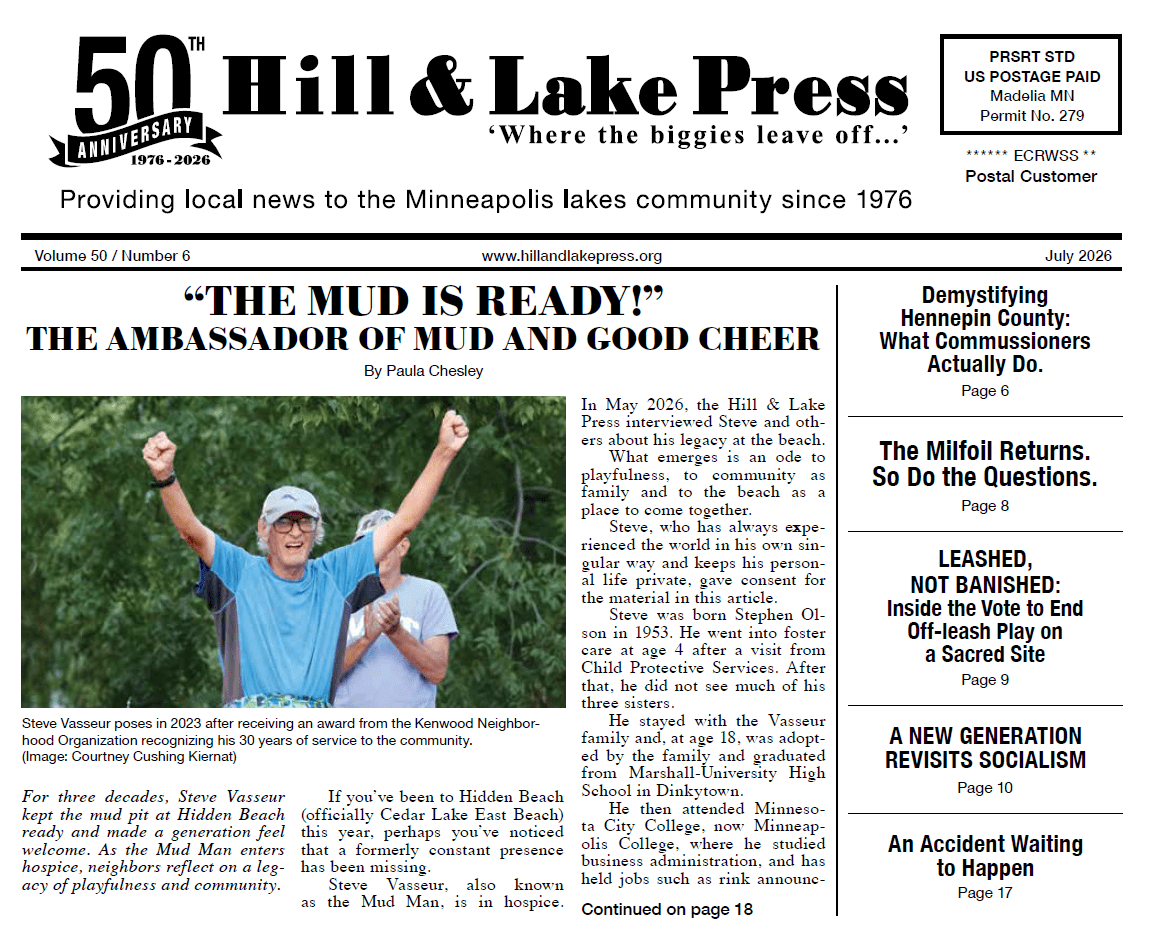
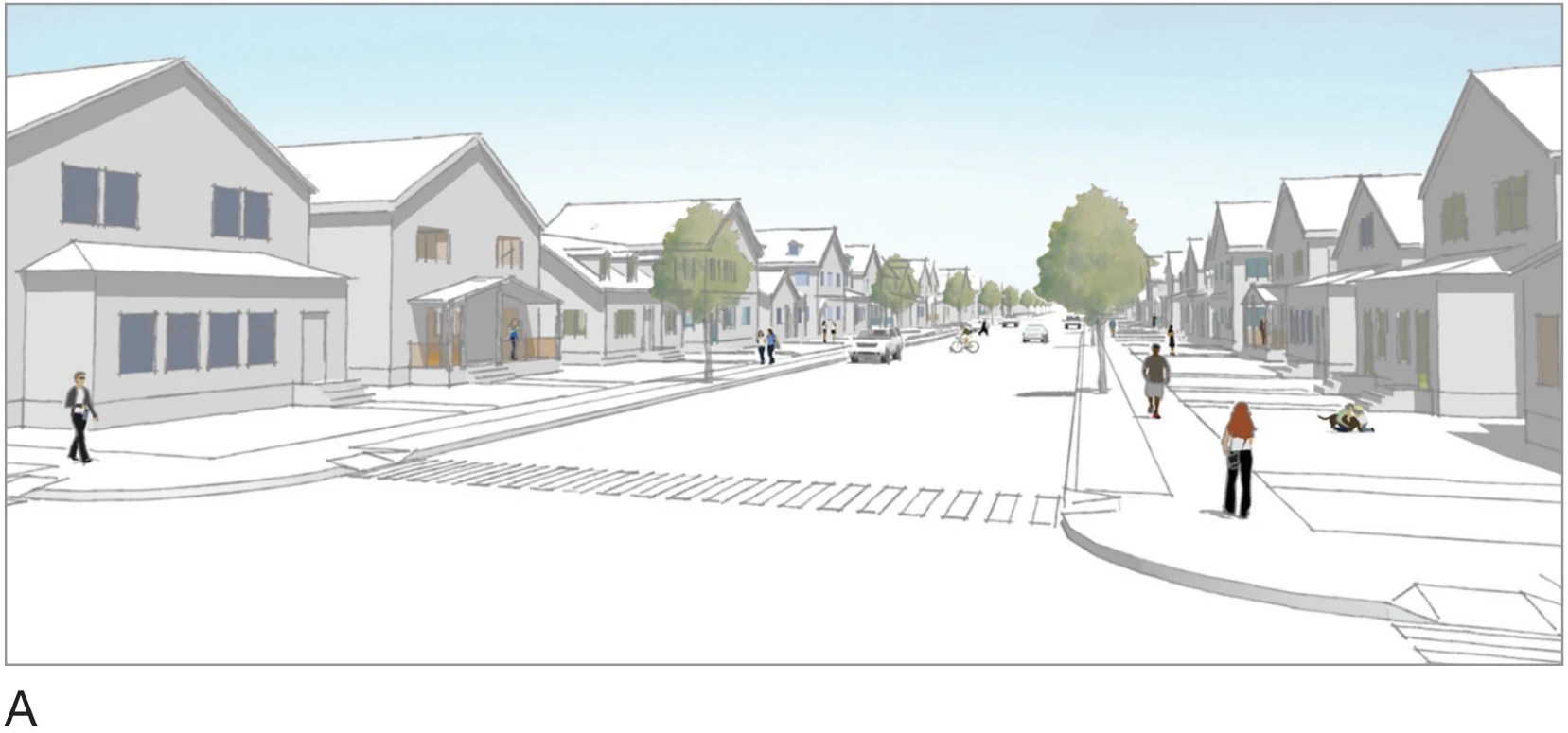
Last month’s front-page editorial reported on the plan of the city of Minneapolis to rezone most of Ken- wood, Lowry Hill and East Isles as “Urban Neighborhood 2,” a designation that would allow the construction of fourplex and up multi-unit housing on many of the lots in these neighborhoods. As we all work to understand the changes this plan proposes to work in our area, it’s important to have a reasonably detailed working knowledge of what we’re dealing with: how did we get here, what are the key terms, and what comes next?
Zoning is complicated, but not impossible to understand.
To start with, it’s almost a truism that zoning is complicated. To my mind, that’s the message the city is trying to send with its online rezoning survey questions — it’s too complicated for ordinary mortals to understand, so please just give up and let the “experts” do their jobs. But while zoning is complicated, it’s not complicated in the same way as understanding genetics, particle physics or international tax accounting. And I guarantee that if any of you get hauled in on a future zoning violation, the city’s position is going to be that it’s all so simple even an infant can understand it. As with many things, the truth is probably some- where in the middle. Still, these are important rules that govern how we live, we’re expected to abide by them, and it’s worth an effort to try to understand the basics.
“Built Form” matters.
The main concept to understand in this current rezoning push is “built form.” Every time I’ve mentioned this concept these past few weeks, I can see people’s eyes immediately glaze (even over the phone). Every- one’s heard of zoning, but that’s not the case with built form.
So what is “built form,” you ask?
It’s zoning by another name, but it also has a specific meaning. In a nutshell, when the city talks about “built form,” it is talking about the scale of development. Built form is where the scale and size of a development is established (i.e., height, mass, setbacks, etc.). So, for example, in an area zoned for Urban Neighborhood 1, a triplex is a scale of development (or “built form”) that is allowed, whereas a fourplex is a "built form" that is not allowed. Built form does not include the building’s use. Once you adapt to the techno-speak, it’s not actually that complicated.
We’re moving from one zoning map to two.
Where it gets actually complicated is that the city currently has two sets of maps: (1) the old zoning map we’re all used to; and (2) a new built form “overlay district” map. The old zoning map is what’s being debated now. The built form map was quietly implemented in 2020, during the pandemic and the riots, and became effective in 2021.
What the city is pushing towards is still two sets of maps, but with different goals. The “built form” map (already in place) sets the scale of development allowed in a given area, i.e., what structure types (“built forms”) are allowed there. The proposed new primary zoning map will set the types of uses allowed in those structures, i.e., can you have a liquor store in a particular commercial structure, or a B&B in a particular residential structure?
To further complicate things, the two maps use different language to describe the same area. For example, the areas in Kenwood and Lowry Hill proposed as Urban Neighborhood 2, abbreviated UN2, on the new zoning map are also mostly zoned as Interior 2, or IN2, on the built form map. So, to fully describe this area in the language of the 2040 Plan, you would say that you live in a UN2/IN2 neighborhood. The UN2 designation sets the permitted use as primarily residential, while the IN2 designation permits the “built form” of fourplexes and up on lots in excess of 7,500 square feet. Put even more compactly, the “UN2" is about use, and the “IN2" is about scale and density. Simple, right? OK, maybe not, but hopefully you’re starting to get the drift...we’ve all got problems!
The City’s Problem
The problem for the city is that the old zoning map is still in place, and it doesn’t align with the new built form map. Example: our local neighborhoods are mostly zoned as IN2 under the built form map, which allows fourplexes, but they are still mostly zoned lower than R3 under the old zoning map, and that doesn’t allow fourplexes. So, until the maps align, the status quo prevails — no fourplexes.
Only once the old zoning map is repealed and replaced with the new one (where the UN and IN boundaries largely align) will fourplexes become the law of the land around here. But please note: the city is apparently taking the position that fourplexes are already allowed by virtue of being in a “built form overlay district,” but I don’t see that the actual ordinance language supports this conclusion.
Our Neighborhoods’ Problem
The problem for the neighborhoods is sneakiness. Make no mistake — the built form map is zoning; it just doesn’t use the word. And way back in 2018-19, when most of the debate over the 2040 plan was taking place, the city snuck the current built form map into the 2040 Comprehensive Plan itself. What most of us remember from the early 2040 debate is that the city initially proposed fourplexes city-wide.
After a great hue and cry, we were told the fourplexes were reduced to triplexes (or Frey-plexes, as the joke went), and everyone pretty much went back to living their lives. But the fourplexes truly never went away for roughly half the city, namely that portion between 38th Street in the south and Lowry Avenue in the north. Put differently, we were quietly and significantly rezoned without most of us actually realizing it.
So now the fourplexes (and up) are baked into the 2040 Plan, which is why the city says it had no choice but to implement the built form map in 2020 (again, while we were all distracted by the pandemic and the murder of George Floyd by a city employee), and that’s why it now says it has no choice but to adopt the new zoning map to conform with the built form map, and too bad for us.
So what’s to be done?
Truly, I don’t know, but a conversation has started and ideas are circulating. What I do know is that you shouldn’t feel bad for not having understood this, or for missing it during the main 2040 debate. Between the substitution of triplexes for fourplexes in the public discussion, and the careful avoidance of the word “zoning” during the adoption of the “built form” rules, this was designed to slip under the radar.
Words matter: you say, “built form” and people’s eyes glaze, you say “zoning” and they perk right up. It calls to mind the famous quote from Jaws: “Martin, it’s all psychological. You yell barracuda, everyone says ‘huh, what?’ You yell shark, we’ve got a panic on our hands on the Fourth of July.” Here, everyone was very careful not to yell “zoning,” even though that’s what "built form" is.
So, the state of play is this: The old zoning map largely remains in effect, but the city’s position is that the new zoning map boundaries must be adopted as presented (and regardless of public comment) because it is effectively required by the built form map that’s baked into the 2040 Plan.
So, to change the zoning to remove the fourplexes, you need to amend the 2040 Plan itself, and that (so I’m told) requires nine votes on the City Council. But, on the flip side, there is an open public comment period through March 26, and now that we know what’s afoot, this is definitely the time to speak up and make your views known, whatever those views may be.